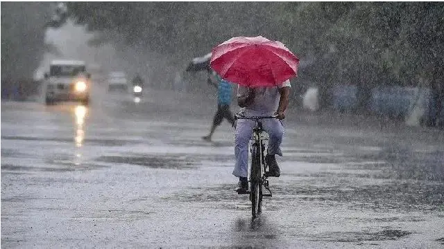
Odisha to receive rainfall for next three days as low pressure forms over BoB
by Sunita · KalingaTVAdvertisement
Bhubaneswar: Odisha has witnessed a fresh bout of rainfall on Sunday morning as a low pressure area has formed in the Bay of Bengal near the northwest coast of West Bengal and Odisha at 5:30 am today. It is likely to move northwards in the next 24 hours and intensify further.
As per the predictions of Regional Meteorological Centre, the state is expecte to receive rainfall for the next three days.
An orange warning, anticipating heavy to very heavy rainfall, has been issued for these two districts. Heavy to very heavy rainfall of 12 to 20 cm has been recorded in some places of Keonjhar and Mayurbhanj districts between 8:30 am today and 8:30 am on Monday.
Advertisement
Heavy rainfall of 7 to 11 cm is expected in Sundargarh, Jharsuguda, Sambalpur, Deogarh, Angul, Dhenkanal, Jajpur, Bhadrak, Balasore, Cuttack, Jagatsinghpur, Khordha and Puri. These districts has received a yellow warning for today.
Along with this, there is a possibility of thunder and lightning accompanied by gusty winds of 30 to 40 kmph in many places of the state. The intensity of the rain will increase further from 8:30 am tomorrow to 8:30 am on Tuesday.
Fishermen have been advised not to venture into the sea off the northwest and adjoining west-central Bay of Bengal and Odisha coast from 16 to 18 August as the sea is likely to remain very rough. Fishermen who are at sea have also been warned to return to shore immediately.
Also Read: Flood situation worsens across Odisha as Brahmani rises again, Subarnarekha recedes
Advertisement